

By Staff Reporter
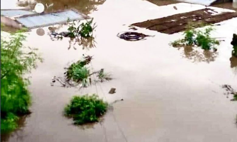
As the reality of climate change begins to affect Zimbabwe, the Civil Protection Unit has developed flood hazard maps in every district as part of long-term emergency plans to deal with the increasing threat of natural disasters.
The impact of climate change on weather patterns has resulted in disaster preparedness being listed among top Government priorities.
The Government is already taking a proactive approach through a mapping exercise which spells out each district’s vulnerability to natural disasters.
Director of the climate change management department Mr Washington Zhakata said the flood hazard maps are in all the district development co-ordinators’ offices.
He added that the maps now need to be unpacked and used effectively to ensure that each district knows exactly where people are and is aware of those in potential trouble, once a disaster occurs.
Citizen awareness has also been a key driver in disaster preparedness, with traditional leaders coming on board.
Due to climate change, recurring droughts and floods have seen Government intervention through evacuations, relief support and other state funded measures.